
If you’re submitting a planning application or a Land Registry application, you’ll usually need a site location plan as one of the supporting documents. It’s a scaled map that shows exactly where your property sits within its wider surroundings, and most planning authorities and HM Land Registry won’t accept an application without one that meets their formatting rules.
We prepare site location plans for homeowners, developers, and solicitors across London and Buckinghamshire, ready for planning portal submission or Land Registry use.
A site location plan (also called simply a “location plan”) shows where your property sits in relation to the surrounding area — nearby roads, neighbouring buildings, and the general locality. It’s drawn to a standard metric scale, typically 1:1250 for urban applications or 1:2500 for larger or rural sites, and based on Ordnance Survey mapping.
According to the Planning Portal’s own guidance, a location plan must clearly outline the application site in red and any other land you own nearby in blue, so the planning authority can quickly identify exactly which property and land the application covers.
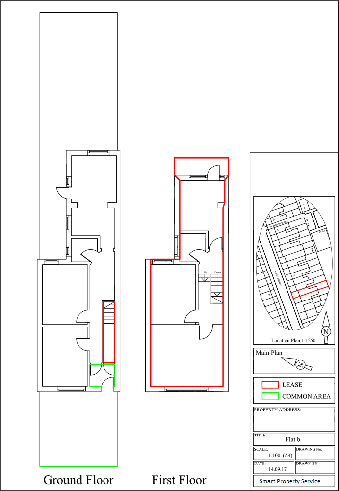
This is one of the most common points of confusion in a planning application, so it’s worth being precise about it. A site location plan and a site plan (also called a “block plan”) are two different documents, at two different scales, doing two different jobs:
Most planning applications need both documents, since they answer two different questions: the location plan shows where the site is, and the site plan shows what’s happening on it. If a council’s checklist asks for a “site plan,” they usually mean the more detailed 1:200/1:500 drawing, not the wider location plan — though in practice, some authorities use the terms loosely, so it’s always worth confirming exactly what’s needed before you submit.
To meet planning authority and Land Registry requirements, your site location plan needs to:
If you’re applying through the Planning Portal online, you’ll need to submit your site location plan as a PDF. If you’re submitting paper copies instead, you can order printed copies alongside the digital file.
One point that catches people out: don’t print the PDF yourself at home. Ordnance Survey mapping is licensed, and printed copies of the plan need to come from a properly licensed source rather than a home printer, or your application can be rejected on that basis alone.
Overall, pricing depends on the size and location of the property. Currently, our standard site location plans start from £175, no VAT.
So get in touch on 07500300909 or email info@theleasefloorplan.co.uk and we’ll be glad to help.
Do I need a site location plan and a site plan, or just one? Most planning applications need both — the location plan shows where the site is, and the site plan (block plan) shows the proposed development in detail. Check your specific council’s validation checklist to confirm.
Can I use a screenshot from Google Maps instead of an Ordnance Survey plan? No. Planning authorities and HM Land Registry require plans based on licensed Ordnance Survey mapping, drawn to a specific scale. Satellite images and map screenshots aren’t accepted.
What scale should my site location plan be? 1:1250 for most urban sites, or 1:2500 for larger or rural sites.
Do I need a site location plan for a Land Registry application? Yes, in many cases — Land Registry applications, including first registrations and some transfers, often require a location plan alongside any lease plan, to identify the property against the Ordnance Survey map.
If you need a site location plan for a planning application or Land Registry submission, get in touch on 07500300909 or email info@theleasefloorplan.co.uk and we’ll be glad to help.
We also offer Land Registry Compliant Lease Plans, HMO Floor Plans, Alcohol Licensing Floor Plans, EPC Certificates, Asbestos Surveys, and Fire Risk Assessments.